Public school classes have been cancelled in the Northern Marianas Monday and Tuesday as a storm continues to track towards the islands.
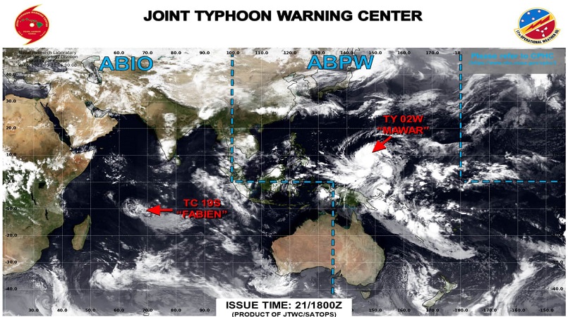
The Joint Typhoon Warning Center said the storm, named Mawar, has strengthened to typhoon status and the Marianas will see tropical storm conditions, which may last 12 to 18 hours reports RNZ Pacific.
As of 2am local time on Monday, the centre of Tropical Storm Mawar was moving north-northwest at 13k/ph, and is expected to make a slight turn.
As a result of the approaching typhoon, a flood watch, small craft advisory, and high surf advisory are in effect until Thursday.
Aside from classes at public schools being cancelled, graduation ceremonies that were scheduled early this week are also being postponed.
Typhoon Condition III was hoisted over Saipan, Tinian, and Rota on Saturday.
This means damaging winds of up to 74k/ph are possible and typhoon force winds of 120k/ph or even greater are possible Monday night through Wednesday.
Meanwhile, the US National Weather Service in Guam says typhoon Mawar has been getting stronger with sustained winds of 135k/ph and gusts reaching 160k/ph.
Lead forecaster Patrick Doll said the longer the system continues to stay over warm water, the stronger it will be.
Doll said Wednesday is forecast for the Mariana Islands to experience the worst storm conditions, but it was too early to say when or where exactly it will hit, because the typhoon was still in its developmental stage.
He said forecasts estimate the storm will reach the lower end of category three strength but could still develop into a super typhoon, reaching category four or five.