The Vanuatu Meteorology and Geohazards Department (VMGD) is now on a La Nina watch.
The country could experience wetter than normal periods for the upcoming wet season if the ENSO status continues to develop toward La Nina.
According to the department, the country experienced below normal to above normal rainfall during August and should expect above normal rainfall for the next three months (October, November, December 2021).
“The Climate model outlooks have increased their forecast likelihood of La Nina forming in 2021. This has led to ENSO Outlook status being raised to La Nina WATCH for the coming months. This means that while ENSO currently remains neutral, the chance of La Nina forming has increased to around 50%”.
The department said most oceanic and atmospheric indicators of ENSO remain within the ENSO-neutral range; however, sea surface temperatures in the central tropical Pacific Ocean have cooled over the past two months, supported by cooler than average waters beneath the surface.
“Climate models continue this cooling trend over the coming months, with three of the seven models surveyed by VMGD meeting La Nina criteria, while two additional models briefly touch La Nina thresholds.”
"All rainfall sites throughout Vanuatu have recorded below normal to normal rainfall during the last 3 months however climate models favour above normal rainfall for Vanuatu for October to December 2021".
La Nina events increase the changes of above average rainfall for Vanuatu including flash flooding, flooding of low-lying areas and landslides.
The hot or wet season in Vanuatu, which starts on November to April of the following year, is also known as the tropical cyclone season.
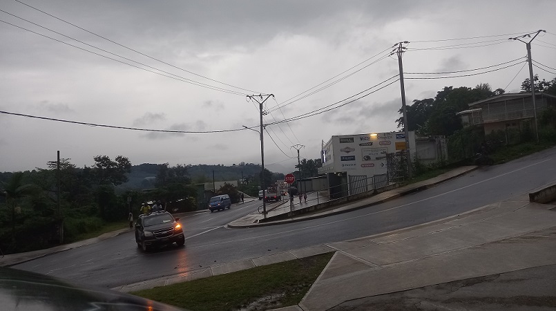
Photo supplied Caption: Heavy rain this week in Port Vila.